Tropical Storm Beryl Update – July 7, 2024
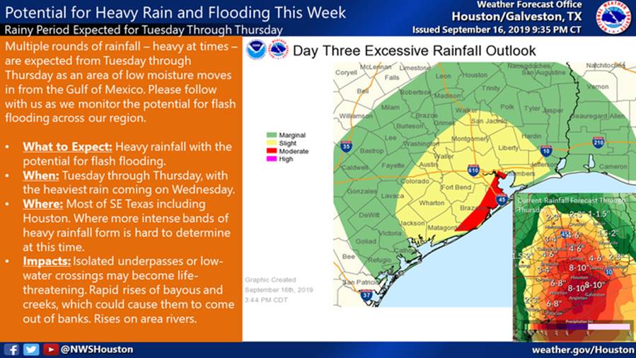
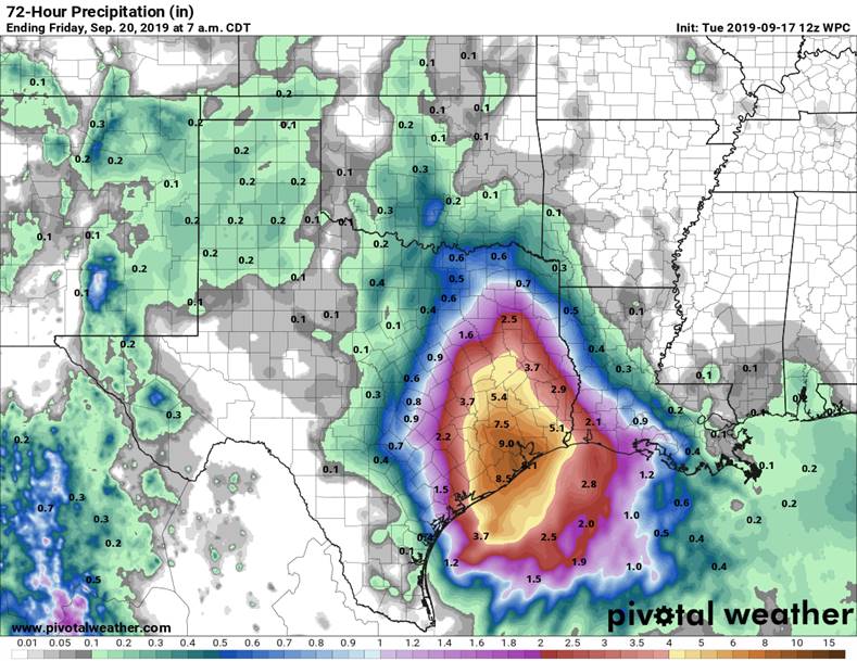
At 12:00 noon today, Tropical Storm Beryl is just off the coast of Texas and looks like it might strengthen to a Category 1 Hurricane just before landfall, somewhere around Matagorda. The storm track is predicted to continue northeastward, and the center of the storm will pass just to the north and west of Fort Bend County. The path of the storm will place us on the “dirty side” and it is likely that we will feel tropical storm type winds and rainfall amounts. The latest prediction from the National Weather Service shows our portion of Fort Bend County at 55 to 65 mph winds with gusts to 80 mph, and 5 to 7 inches of rainfall.
The FCLID2 Operator and the Engineer have our Subdivision prepared and ready for this storm. We ran all three of our pumps during last month’s flood event and our two standby generators were operated. The diesel generator fuel tank is full and of course the natural gas generator is always ready to go. Everything was inspected recently by the US Army Corps of Engineers (which we passed with excellence), and we also participated in a simulated flood training event at the FBC Office of Emergency Management last week.
As an extra precaution, our Operator will have technicians stationed at nearby FBCLID2 overnight and will be able to react to any issue in our community within 5 minutes. They will be up all night monitoring the status of the storm.
The bottom line is, we can easily handle the predicted rainfall from Tropical Storm Beryl and keep FCLID2 safe from flooding. FCLID2 is on the job. The FCLID2 website is www.FCLID2.com if you would like further information.
Ron Frerich
Board Member
FCLID2


