Monitoring and Preparedness During the Brazos River High-Water Event

The Commonwealth Residents,

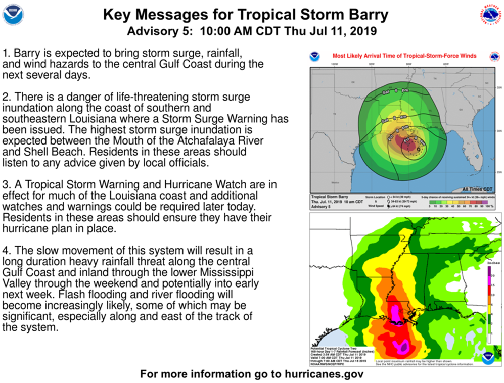
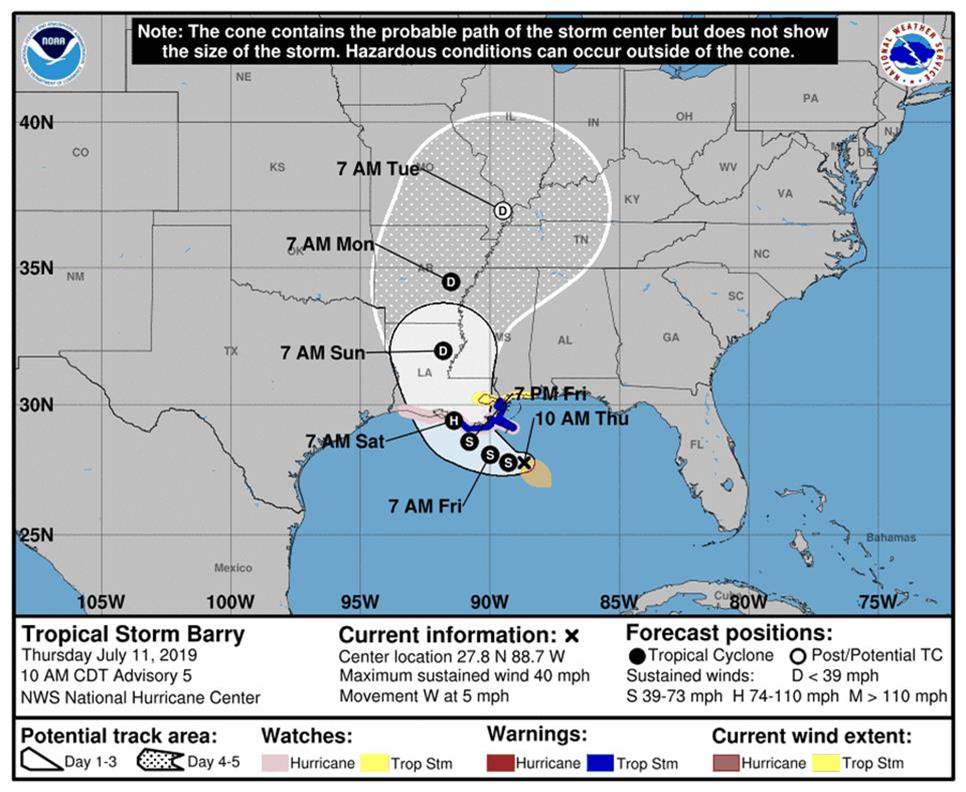
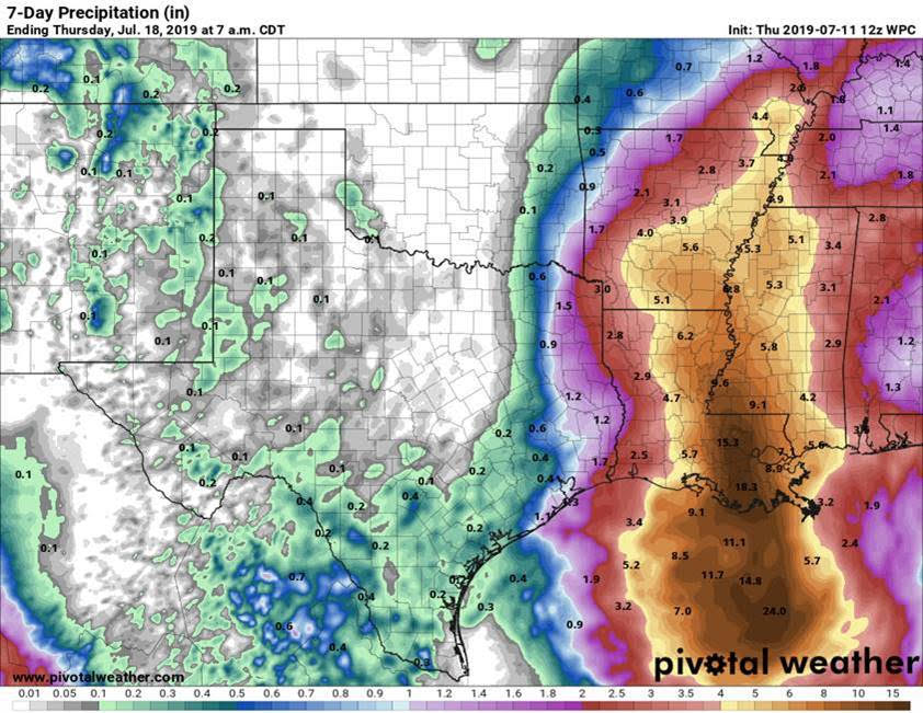
The First Colony Levee Improvement District No. 2 (FCLID2) Board of Directors and our District Operator and Engineer have been monitoring the National Weather Service reports and the USGS river forecast for the Brazos River high-water event for the past week.

The Brazos River is currently forecasted to crest at 45.3 feet in Richmond, Texas just above Minor Flood stage, on Friday evening into Saturday morning and then slowly start to recede.  At that level, we still have about 5 more feet of river rise before reaching Major Flood Stage for Fort Bend County.  Even at Major Flood Stage, our levee system is still well above the level needed to protect our Commonwealth Community.

The current river level outside of our levee is about 4 feet higher than the inside level of Alcorn Lake at the District’s Pump Station.  Gravity outflow of the rainwater from the interior of Commonwealth has ceased because of the river height against our flood gates.  We are currently performing maintenance pumping this morning which will lower the Lake Alcorn level to help maximize the storage capacity in our internal lake system with the forecast for rain Sunday through Tuesday.

The District has an Emergency Action Plan (EAP) with multiple levels of operation and manpower requirements. Currently FCLID2 is at the second lowest readiness level of the EAP and our operators have tested the district’s pumps and generators.  Should river levels rise more than currently predicted or more rainfall be predicted, we are prepared to step up operations as dictated in our Emergency Action Plan.

The bottom line is FCLID2 is closely monitoring the Brazos River levels and weather forecasts and we are prepared to implement stepped up operations as dictated in the Emergency Action Plan if required.

FEMA Risk Rating 2.0

First Colony Levee Improvement District No. 2 has joined the Fort Bend Economic Development Council (FBEDC) with other levee districts in Fort Bend County to form the Fort Bend Flood Management Committee (FBFMC).  The purpose of this coalition is to come together to form a strong, collective voice to address federal, state, and local regulations and guidelines that affect leveed areas.  You can follow this committee on the FBEDC at the following link: https://fortbendcounty.com/about-fbedc/committees/flood-management-committee .

The FBFMC has engaged consultants to work with the FBFMC and member districts to identify the issues and formulate legislative and regulatory relief, so we continue to benefit from the many years of successful flood management here in Fort Bend County.

In 2021, the Federal Emergency Management Agency (FEMA) changed how flood insurance rates under the National Flood Insurance Program (NFIP) are calculated for your home and property.  A new rating system called Risk Rating 2.0 (RR 2.0) was introduced.  RR 2.0 supposedly allows FEMA to determine premium rates per property based on factors such as proximity to a flooding source, 1st floor elevation, replacement cost of rebuilding, etc.  This is not a complete list because FEMA has not disclosed exactly how the rates are calculated.  In the past, premium rates were determined by mapped flood zones.  Certain zones require the purchase of flood insurance to get a mortgage (Special Flood Hazard Areas, or SFHAs).  Leveed districts in Fort Bend County are accredited by FEMA, thus avoiding designation as SFHAs and, therefore, homeowners received preferred rate policies, savings hundreds of dollars and were exempt from the mandatory obligation to purchase flood insurance.

Under the new NFIP RR 2.0, flood insurance has become a major concern as premium rates have increased, policy holder numbers across the country have started to decrease, and new guidelines are being implemented that potentially could have a negative effect on ours and other levee districts.

Some of the current steps being taken by the FBEDC and FBFMC to address this concern are:

  1. Setting the goal of affordable, voluntary flood insurance for 100-year accredited levee protected areas,
  2. Requesting that accredited levees continue to exempt protected communities from SFHA designation and mandatory flood insurance purchase,
  3. Requiring FEMA to be transparent with the RR 2.0 methodologies and disclose the full actuarial premium on all NFIP flood insurance bills,
  4. Ensuring the data being used by FEMA to set RR 2.0 rates in leveed areas is correct.

Through our participation in the FBFMC under the FBEDC, this District will continue to monitor and challenge any change that goes against the best interest of our residents.  We trust you will stay engaged and support our efforts through this coalition on your behalf.